Wayfinding advances can boost business

Joe Fernandes CEO of BuzzStreets, the digital wayfinding experts, discusses how navigation has moved from magic to reality particularly in relation to recent developments in indoor navigation.
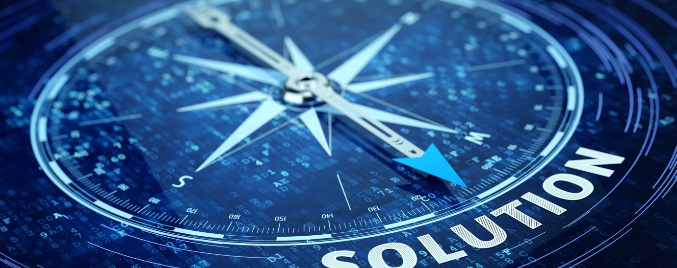
If you traveled back to London in 1691 for Edmund Halley’s presentation of a rudimentary magnetic compass to the Royal Society and explained how your phone provided you with a detailed map of the world and could direct you from any part of the city to the other, plus tell you how long the journey would take, you would run the risk of being burned as a witch.
Back in the twenty-first century, outdoor navigation technology is fantastic, but it drops out when you enter a building. That shouldn’t be a problem, because that’s where wayfinding comes in, but traditional wayfinding, delivered through signage and on-wall maps (the classic ‘you are here’ arrow or dot), has limits to its effectiveness.
Wayfinding helps people navigate from one section of a physical space to another area in that space via effective communication of relevant information. In addition, wayfinding should also augment a person’s experience of the environment and boost their understanding of the space they are moving through.
If wayfinding is doing its job:
- you know where you are
- you know what your destination is
- the route to your destination is clear and easy to follow
- your destination is easy to recognize when you reach it
- and your way back is clear
How does digital wayfinding work?
Indoor wayfinding, developed by companies like BuzzStreets, uses a system of BLE Beacons, Wi-Fi signals, and the Earth’s magnetic field to pinpoint the person’s location, giving them real-time directions, both spoken and visual, to allow them to navigate through a building, both horizontally and vertically.
When the person arrives at the office building/shopping mall/sports stadium etc., they open the app and key in the location they want. The app then calculates a route from their current location to the point in the building they need: it shows a map of the location, and their route is clearly marked. Just like traditional car sat-nav systems they then press ‘start’ and the app visually shows them where to head and audibly advises them.
As they progress along the route the app constantly updates showing them where they are and giving them regular voice and visual updates to show them where and when to turn, go straight-on, or change floors. It will also let the person know when they have arrived at their destination. However, unlike car sat-nav, the system is accurate to 1-2metres as the ‘sensors’ are within the building (not 12,000 miles away in space).
This means it can take a person directly to their seat, or a specific shop, or even a location within a shop.

Additional data availability
Digital wayfinding technology can also gather extremely useful anonymous navigation data:
- How do people move around your shopping mall?
- Where does your mall get the highest footfall?
- What route do they take to the car park?
- When are people most likely to buy food?
Data can help answer all of these questions and many more. Shopping malls can use this data to optimize their environments to improve the user experience, save money, and market their available retail spaces.
If a specific area of a shopping mall gets particularly high foot traffic, the retail space around it may be worth a lot more (in terms of rent) than areas with less footfall. Mall owners can then maximize the value of their space. If an event is being planned in the shopping mall (perhaps a fashion show to promote the mall’s clothing brands, or a concert by local schoolchildren to raise money for charity, or a Christmas grotto), data can help determine the ideal location to host the event that will cause the minimum of disruption and/or identify the areas with the type of footfall that is most appropriate for the event.
Airport wayfinding
Digital wayfinding provides similar solutions to similar issues for airport operators (even if they may baulk at comparisons to shopping malls). There is no reason to expect finding the correct gate at an airport should be anything other than easy, but 74% of travelers report having had a bad experience trying to find their gate. Airports tend to be complex places; often airports have been extended several times. They are extremely busy places with numerous retail and food & beverage outlets competing for the attention of travelers with their eye-catching signage, and frequently there are ongoing construction projects or temporary restrictions, and when abroad, signage in a foreign language is added to the mix.
By easing the flow of travelers (most of whom will be much less familiar with the airport than they are with their local mall), digital wayfinding can improve the experience of being in an airport environment, and data gathering can answer similar questions about footfall, routes taken and demand on facilities, perhaps identifying if improvements or expansion of car parking or public transport options are required. A digital wayfinding app can also help outlets sell more by making vouchers and discounts available.
Additional wayfinding opportunities
In addition to aiding the businesses based at airports and shopping malls, digital wayfinding can also bring benefits to hospitals, sports stadiums, entertainment venues, university campuses, fairs, and large offices. Clients arriving at an unfamiliar office environment can become lost in a maze of floors and corridors. They can arrive late and flustered to meetings without any time to set up their laptop for a presentation or even make a pre-match visit to the little boys’/girls’ room. The result is stressed clients and ramshackle presentations.
Again, data gathered by digital wayfinding technology can be very useful:
- How do people move around your office?
- What route do they take to the train station?
- Is there a better way to manage meeting rooms?
- Why are people visiting your office in the first place?
- Where do staff tend to congregate?
- Are certain spaces underused?
By providing answers to all of these questions, data can allow businesses to optimize their environments and also their resources, such as laptops and tablets. If you need a piece of technology, but it’s not where it should be, location data can help you track it down. Perhaps you find that some equipment is regularly being transported long distances around your office, in which case it would save time and money to buy a second machine.
Read More:
- ticket to ride, differently: how safe flying depends on technology innovation
- Unlocking the power of AI for retail
- 2022: Delivering omnichannel digital retail innovation with an emotional connection
Whether a business needs to move people (customers, clients, or staff) from A to B efficiently, or make the most of their business space (retail units or meeting rooms), using real-time data improves the chances of that business meeting (or exceeding) its goals. These benefits help to increase and control the flow within business environments and allows data to be transformed into valuable insights, to drive the business forward. Digital wayfinding is a gateway to the future and also the tool that will guide you there.
Click here to discover more of our podcasts
For more news from Top Business Tech, don’t forget to subscribe to our daily bulletin!
